This template is part of a deck featuring multiple slides. To check out all slides, click on See All.
See All
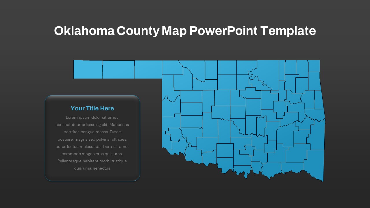
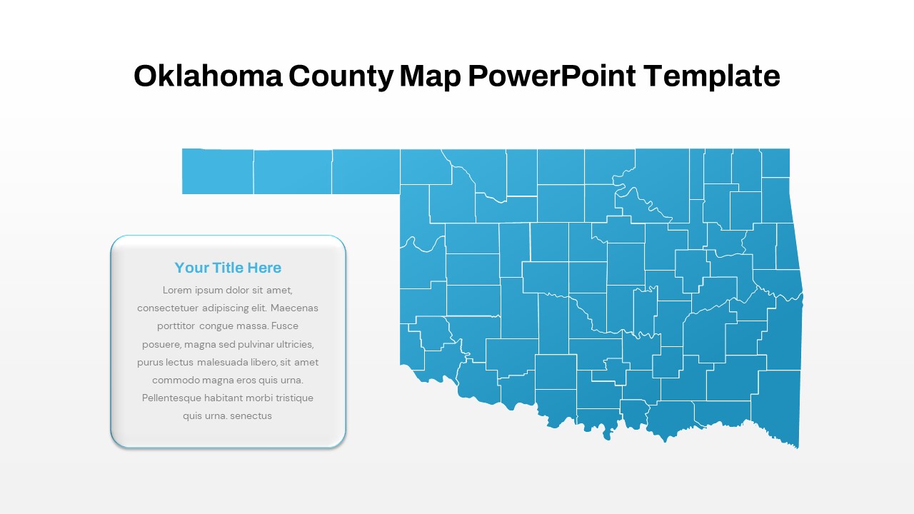
Explore Oklahoma's Counties with Our Oklahoma County Map PowerPoint Template
The Oklahoma County Map PowerPoint Template is an ideal tool for a diverse range of users, including educators, business professionals, travel and tour operators, as well as social and political administrators. This was created to meet specific needs, so it helps the presentation of Oklahoma's county features, providing a comprehensive overview of the state's cartographic geography in the United States. With its fully editable options, users can customize and highlight pertinent information, making it an indispensable resource for conveying key insights and data. Whether for educational purposes, business planning, tourism promotion, or governance, this template enables users to effectively communicate their interests and objectives.
How do I insert maps in PowerPoint?
Inserting maps into PowerPoint presentations is a simple process that enhances visual communication and comprehension. To do so, start by navigating to the "Insert" tab in PowerPoint. From there, click on "Pictures" or "Online Pictures" to import an existing map image or search for maps available online. Alternatively, choose "Shapes" to draw a customized map directly onto your slide. Utilize the "Insert" tab's "Icons" option to incorporate stylized map icons for added clarity and visual appeal. Once inserted, resize, reposition, and format the map as needed to suit your presentation's requirements. This simple yet powerful feature enriches presentations, aiding in conveying geographical information and improving audience engagement.Oklahoma map PowerPoint template can be used to display business expansion plans and regio-centric marketing plans. The Oklahoma state PowerPoint map is crafted using flat shapes, each containing a multitude of segments intricately pieced together. This compilation forms a comprehensive geographical representation of Oklahoma, with the added functionality of being able to ungroup the map to access individual counties. Users have the flexibility to recolor specific counties directly from the main map, allowing for dynamic customization. Additionally, the map enables easy resizing of selected counties to emphasize particular regions, offering a versatile tool for presentations, educational materials, and data visualization purposes. Get it now!